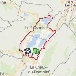
15,4 km | 20 km-effort
tour des 4 lacs
Jackoyo
Utilisateur
Longueur
14,3 km
Altitude max
991 m
Dénivelé positif
392 m
Km-Effort
19,5 km
Altitude min
748 m
Dénivelé négatif
392 m
Boucle
Oui
Date de création :
2019-10-26 08:31:46.727
Dernière modification :
2019-10-26 11:47:15.123
3h14
Difficulté : Moyen
Application GPS de randonnée GRATUITE
À propos
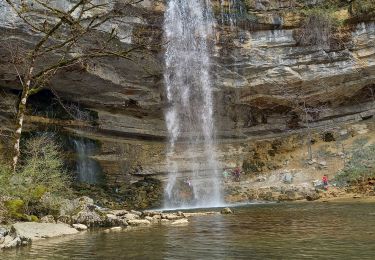
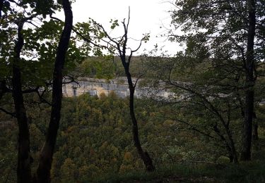
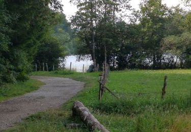
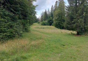
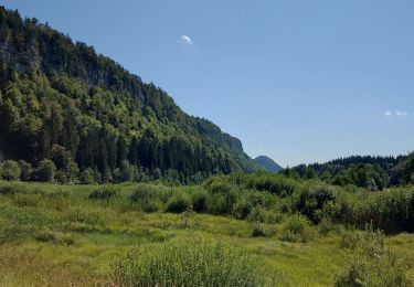
Randonnée Marche de 14,3 km à découvrir à Bourgogne-Franche-Comté, Jura, La Chaux-du-Dombief. Cette randonnée est proposée par Jackoyo .
Localisation
Pays :
France
Région :
Bourgogne-Franche-Comté
Département/Province :
Jura
Commune :
La Chaux-du-Dombief
Localité :
Unknown
Départ:(Dec)
Départ:(UTM)
721690 ; 5166219 (31T) N.
Commentaires
Randonnées à proximité
Cascades du Hérisson et les 4 lacs
Marche
Moyen
(1)
Le Frasnois,
Bourgogne-Franche-Comté,
Jura,
France
4h 35min
Non
Lac de Narlay - Pic de l'Aigle
Marche
Moyen
Le Frasnois,
Bourgogne-Franche-Comté,
Jura,
France
16,3 km | 22 km-effort
7h 1min
Oui
lacs des maclut
Marche
Très facile
(1)
Le Frasnois,
Bourgogne-Franche-Comté,
Jura,
France
9,6 km | 12,1 km-effort
2h 1min
Non
pic de l''aigle - la Chaux-du-Dombief
Marche
Très facile
(1)
La Chaux-du-Dombief,
Bourgogne-Franche-Comté,
Jura,
France
6,3 km | 9,2 km-effort
Inconnu
Non
Ilay Menetrux en Joux cascades du Herisson
Marche
Difficile
Le Frasnois,
Bourgogne-Franche-Comté,
Jura,
France
12,7 km | 17,8 km-effort
4h 2min
Oui
Cascades du Hérisson
Marche
Très facile
Bonlieu,
Bourgogne-Franche-Comté,
Jura,
France
4,8 km | 7,6 km-effort
1h 56min
Oui
Rando des 4 lacs par le Pic de l'Aigle
Marche
Très difficile
Le Frasnois,
Bourgogne-Franche-Comté,
Jura,
France
14,6 km | 19,9 km-effort
4h 30min
Oui
à travers les pâtures...
Marche
Facile
Saint-Pierre,
Bourgogne-Franche-Comté,
Jura,
France
5,1 km | 5,9 km-effort
1h 38min
Oui
Tour du lac du Franoy
Marche
Très facile
Le Frasnois,
Bourgogne-Franche-Comté,
Jura,
France
5,4 km | 6,5 km-effort
1h 36min
Oui
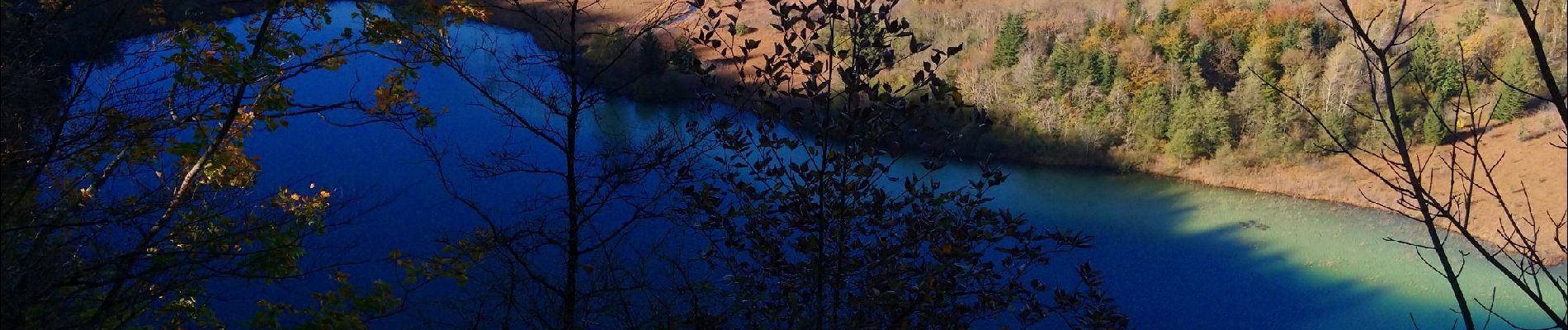
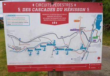
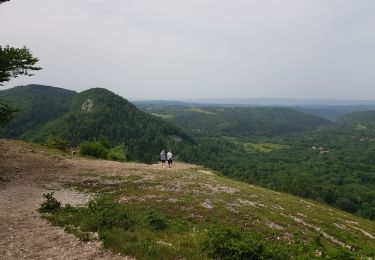
Superbe parcours pour notre 1ère randonnée dans le Jura.